SANDPOINT on the River Leven, Dumbarton.
ACCESS : This is a commercial working boatyard and marina. Access if for customers and reached from Woodyard Road by land or from the mouth of the Leven from the Clyde.
///attention.punk.kickers Main entrance.
To understand the origins of this boatyard and marina you should refer to WOODYARD SHIPYARD discussed separately. The name of Sandpoint lingers, reminding us of its original natural form where the Leven met the Clyde. Today it plays a vital role in supporting boat owners with moorings, hardstanding boat storage and maintenance. It and can provide a 85 ton launching/recovery trailer.
It is best seen from the Dumbarton Castle ramparts where you will also notice the curve of the river at this point and the remaining basin across the river from it.
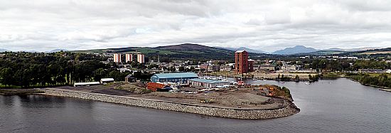 This photo was taken only a few years ago, but already the scene has changed. The Sandpoint edges are seen here being infilled and raised. On the far bank the tower of Allied Distillery can still be seen and there are some qutie extensive gaps in that terrain that have since been built up.
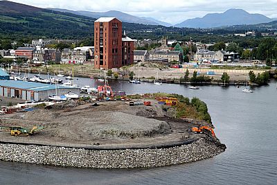
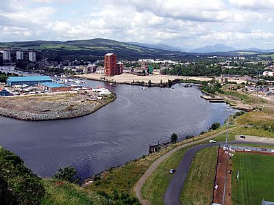
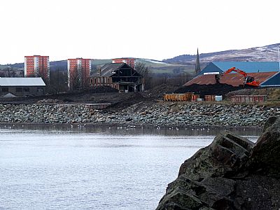
This photo was taken several years ago and is included as a record of the change that has taken place.
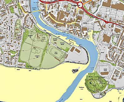
This is much as it is today. The blue is the main channel with the pale yellow what is exposed at very low tide. Also evident is the Black Lair, the protruding rock at the entrance to the River Leven. Fortunately it is not within the main channel of the river, but would nevertheless prove to be a challenge to shipping. [Pastmap].
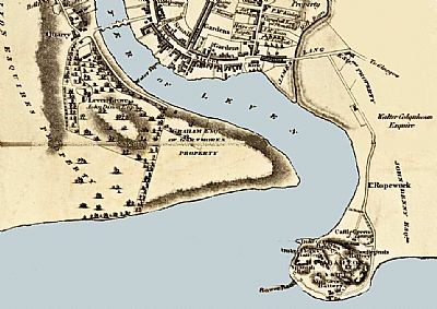
Compare the above map to that of 1823 by John Wood. NLS © as ref below.
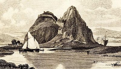
In this vignette from the same map as above we see a view of Dumbarton Rock with its castle from the town looking across the River Leven as it winds its way to the Clyde. In the middle distance we see Sandpoint when it actually was sand or mud. The sailing ship between that and the east bank indicates a narrow point at low tide. A second sailing ship can be seen heading out beyond the sandbank to wider water. As can be seen when comparing these maps, the navigable waters would differ dramatically according to the tides and the draught of the craft. NLS © as ref below.
CANMORE : https://canmore.org.uk/site/161570/dumbarton-woodyard
NATIONAL LIBRARY OF SCOTLAND : MAPS : Mapmaker: Wood, John, ca. 1780-1847. Title: Dumbartonshire / sur[veyed] by Wood for the Atlas of Scotland. Extract of the smaller insert within the map of the area. https://maps.nls.uk/view/216442878
SANDPOINT MARINA : http://www.sandpoint-marina.co.uk/

