Skip to Main Content
Ben Wyvis
Exploring a Route from the South
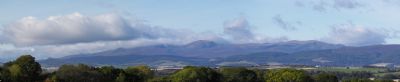
Our house at Little Farness on the Black Isle in Ross-shire has a panoramic view which includes Ben Wyvis which is a Munro
and also includes a very distinctive curious cone shaped hill
Between us and them are several ridges which with distance merge into one, giving the impression of a continuous plateau. The map says otherwise. There is the Cromarty Firth, and two major glens, Glen Glass and Coire Mor between the house and the summit and it has taken some time for me to sort out the complex landscape.
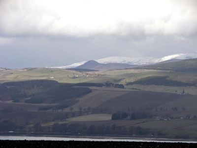
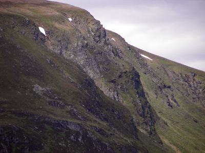
As the eye follows the line of the mountain part of a cliff can be made out just below the summit. I had been wondering about this and the cone shaped hill for years.
Ben Wyvis is a Munro. It is a vast estate and the Munro Guide route up the An Cabar ridge from the north gets you to the top in a few hours.
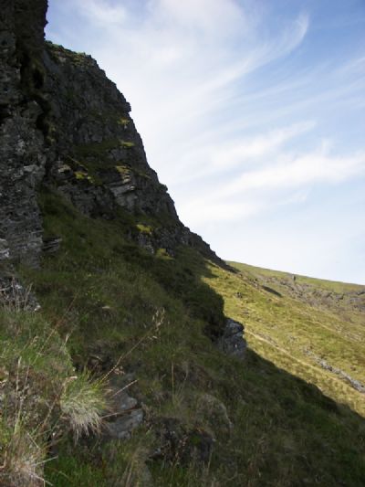
Cabar Ridge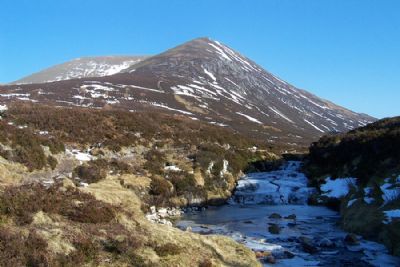
On top you can ‘feel’ that there is a cliff to the east but it is difficult to see properly from the plateau. Other approaches take much longer.
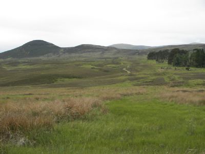
From the North the traverse from An Cabar to Tom McConnich is a popular long day but there is no really satisfactory way of making a circular route and the Cliff is hidden. In the South we tried cycling Glen Glas and climbing from the end of Loch Glass via Tom McConnich but got sore bums on an endless stony track which was just as bad on the return. Again no satisfactory view of the Cliff can be had. I tried viewing from different places to look into the Glen,
It wasn’t until I traced a route on the map to the precipice from The Heights of Docharty at Dingwall that I made progress. I took my bike onto a very rough steep track past the cone shaped hill.
The track climbs steeply to the bealach (that’s a pass to you ignorami) Cioch Mhor on left
Earlier we’d taken bearings from the house but it was hard to decide which of the Wyvis outliers the cone was. From where I was now, the map showed that it’s called Cioch Mhor

I got as far as the plantation where I left the bike and walked for another hour from there climbing up to Meille na Speireig.
The view from Meille na Speireig

From Meille na Speireig the steep bit of Coire an t-Socaich could be seen clearly but from this perspective it didn’t look promising. I sat with the view for a while enjoying it with satisfaction
I imagined an exploratory route up a buttress which looked as if it might give some scrambling.
On the way back I had great pleasure in climbing The Cone or Cioch Mhor. It gave fine views for a highly recommended three or four hour round trip from the Heights of Docharty.
A friend in the Scottish Mountaineering Club sent me all the information on climbs on Ben Wyvis that he could find. These were three winter climbs done fairly recently and described as gullies. So I felt I had to get closer and rub my nose in the rock. Frustratingly time passed and I couldn’t find a friend to hold a rope. In the end early one morning at sunrise I set off on my own.
This time I didn’t bother with the bike. Last time I had to carry it
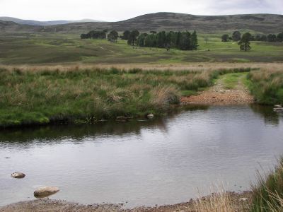
across two fords, over several gates and push it most of the steep way up; coming down was slow too. It was just as quick to walk in. From Meille na Speireig, where I turned back last time, I went down heather slopes to and following the grassy banks of the burn where it cut its way through peat hags and made an easier route until I could look into the longed for Coire An t-Socaich

Junction of Allt Mhoir and Allt Comhlaich with Cliff above
 An t-Socaich
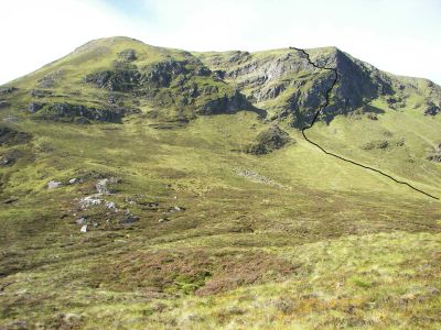
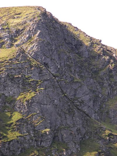
At first it looked exciting. The cliff, An t-Socaich, seemed to be continuous to the top. As I got closer I saw that a gully splits the face and later, nearer to the promised land I realised that the gully split the steep cliff of an t-Socaich into a lower and higher part with no satisfactory line on broken rock.
Line shows hidden gully
Even winter climbing would lack continuous exposure.
I set off on the line I’d promised myself. This was no longer the vertical line I’d seen in profile but lay as a route sloping up across the cliff finishing at the top of the lower cliff there it turned and went uphill on decent scrambling to finish high on the hill.

 Start
Start
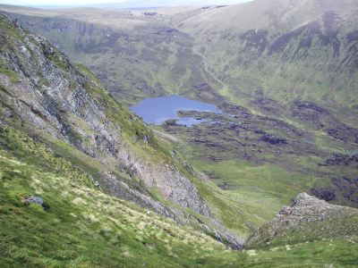
The view from the top looking into Glas Choire and Loch a Choire Mhore.
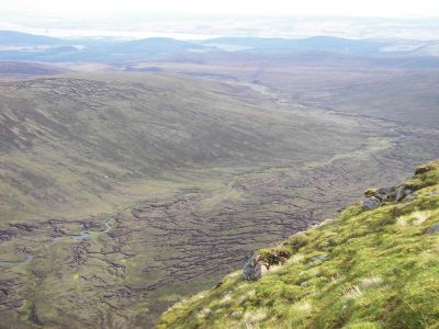
and showed clearly the time consuming terrain of Coire Mhor that I’d crossed laboriously. However the return route went quickly over the summit of Ben Wyvis and back to the junction of the burns and after the long-while of speculation I was now FREE to celebrate!
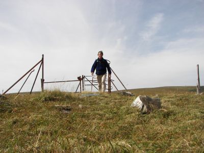
A gate in the middle of nowhere
Total time 10 hours including 1 mile which took 2 1/2 hours over terrible terrain. Exploring the rarely visited cliff was rewarding but it takes a considerable effort to get to the base of the crag just to make a few routes
Ref. OS Explorer Map 437
R.S.King September 2006

