
Burns in the Mearns
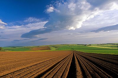
The county of Kincardineshire is also known as The Mearns (from A' Mhaoirne meaning 'The Stewartry'). It lies between Aberdeenshire in the north and west, and the county of Angus in the south. It is an area of rich red soil, farming and coastal communities.
 Kincardine was the original county town but this ceased to exist in the Middle Ages.The ruin of Kincardine Castle, 2 miles north-east of Fettercairn is the only visible sign left of it's existence.
In 1296, King John Balliol wrote a letter of surrender from the castle to Edward I of England after a short war which marked the beginning of the wars of Scottish independence. In 1600 Parliament caused the government of Kincardineshire to be conducted at the Stonehaven Tolbooth.
Stonehaven became the county town, and the county included three other burghs, Banchory, Inverbervie and Laurencekirk. Other settlements include Portlethen, Muchalls and Drumoak.
The county was abolished in 1975, and was subsumed into the Kincardine and Deeside district of the Grampian region. When the Grampian region was divided into unitary council areas in 1996, the district was absorbed into the Aberdeenshire Council area.
Robert Burns had many relations in Stonehaven and he once described the Mearns area as " a rich and cultvated but still unenclosed country".
