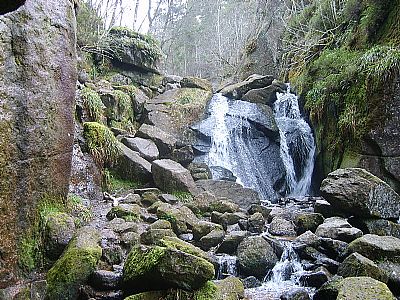
Forests Walking
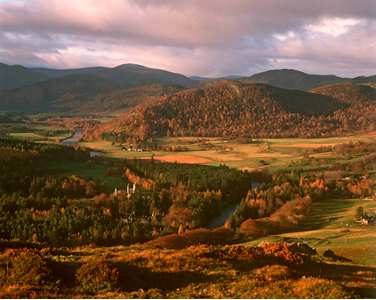
Braemar Area
Morrone Birchwood (1 mile west of Braemar): - This is a stunning example of natural mountain birchwoods, which is easily accessed on relatively short trails from the car park just outside Braemar. It is a National Nature Reserve managed by SNH offering excellent views of the Cairngorm Mountains.
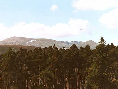
Ballochbuie Forest (3 miles east of Braemar): The magnificent Scots Pine were part of the ancient Caledonia Forest Now part of the Balmoral estate.
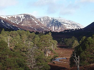
Glen Quoich and Glen Derry (West of Braemar) - Many of the Scots Pine trees here are the remnants of Scotland's native pinewoods. This is wild and spectacular mountain country lying in the Cairngorm Mountains but accessed through lower level walks.
Ballater Area
Craigendarroch (0.5 mile north of Ballater) : an old oak wood covering Craigendarroch hill. This is a SSSI and a great favourite with visitors to Ballater.
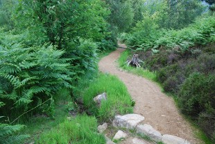
Cambus O' May (3 miles east of Ballater) : Four circular trails, including a route for all abilities, run through Highland pinewoods from the Forestry Commission car park near this hamlet on the A93 between Ballater and Dinnet. It is a Forestry Commission mixed conifer and birch wood with attractive way-marked forest walks and interpretation boards. Some of the walks are accessible by wheelchair. There is a permanent orienteering course here.
Coilacriech Wood (3 miles west of Ballater) : A mixed stand of pine and birch. This is a SSSI offering stunning views across the Dee valley towards Lochnagar.
Pannanich Wood (1 mile south of Ballater) : a Forestry Commission mixed conifer wood offering fine views across Ballater and the Dee valley. There is an attractive way-marked circular walk.
Muir of Dinnet (5 miles east of Ballater) : a National Nature Reserve managed by SNH where a heather moorland surrounding two small lochs is returning to its natural wooded state with birch and pine. There are some attractive way-marked walks in this wild landscape.
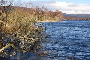
Burn O’Vat - Burn O’Vat is a giant pothole carved by melt water during the last Ice Age. There are well surfaced and waymarked routes through the birch and pinewoods of the neighbouring Muir of Dinnet National Nature Reserve.
Aboyne Area
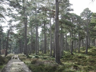
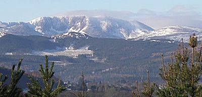
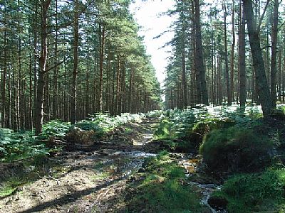
Glen Tanar National Nature Reserve - Glen Tanar lies about 3 miles from Aboyne and boasts one of the largest and finest remnants of Scotland's native pinewoods. The glen supports typical Scots Pine and pinewood plants and animals. Look out for Scottish crossbill, capercaillie and red squirrel, as well as plants like blaeberry and twinflower.
Bell wood (0.5 mile east of Aboyne) : A conifer wood of about 100 hectares on the eastern edge of Aboyne. Very popular with residents of the town, it has recently been bought by the community who plan to improve its facilities.
Balfour wood, Birse (4 miles south-east of Aboyne) : A Forestry Commission mixed conifer wood where recent felling has opened up some magnificent views. Walkers welcome. Managed in cooperation with the local community.
Banchory Area
Blackhall Forest (1 to 4 miles west of Banchory) : A Forestry Commission mixed conifer wood offering fine views.
Shooting Greens (4 miles west of Banchory) has some attractive way-marked forest walks and fine views.
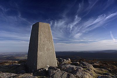
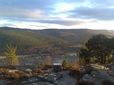
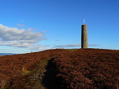
Scolty Hill Woodland Park (1 mile south-west of Banchory) has attractive forest walks, one of which leads to the monument at the top of Scolty Hill overlooking Banchory. Managed in cooperation with the local community.
Banchory woodlands (1 mile north of Banchory) Some small woodlands on the northern edge of Banchory. Some are owned by the Forestry Commission but managed in cooperation with the local community.Walkers welcome.
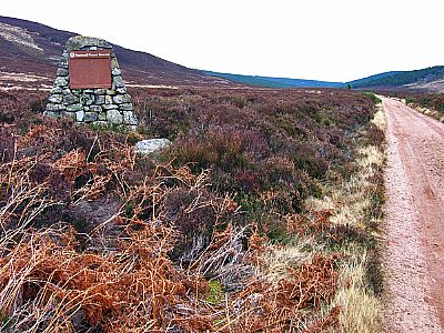
Midmar Forest (5 miles north of Banchory) A Forestry Commission mixed conifer forest on the northern flanks of the Hill of Fare and offers views across to Bennachie. Walkers welcome but no way-marked paths. The Hill of Fare itself is a very fine mini mountain range with severasl tops with excellent walking and is the closest major hill to Aberdeen.
Feteresso Forest (6 miles south-west of Banchory) The largest forest (12 miles long) in the area - though much of it lies outside the catchment area of the river Dee. A mixed Forestry Commision conifer forest with many miles of multi-user trails.